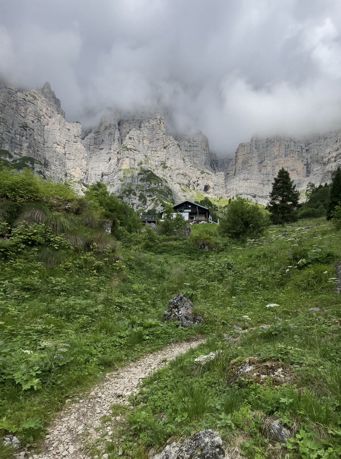
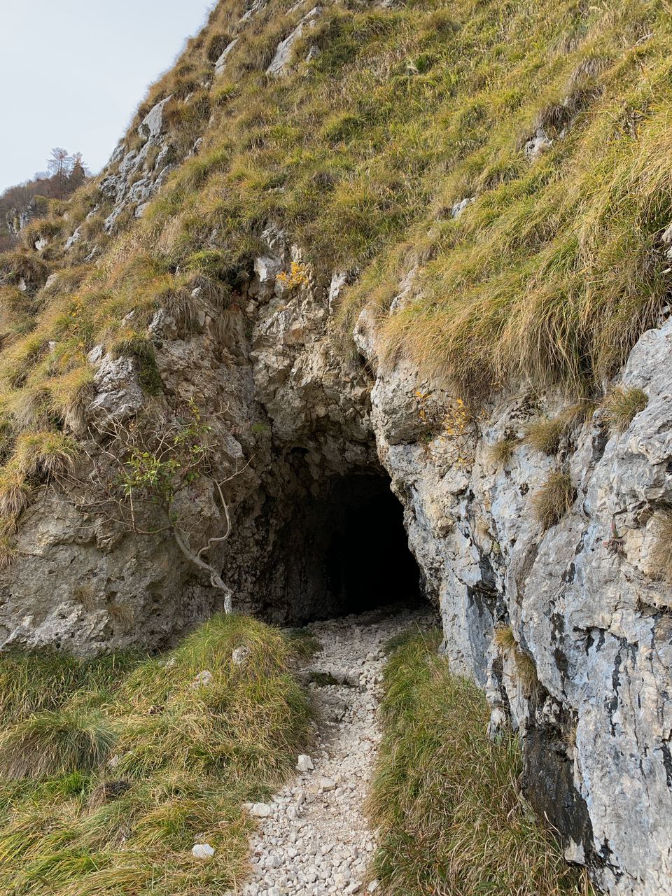
Hight difficulty Only for experts 6 hours Elevation gain: 880 m Distance: 12 km Excursion to Rifugio VII°Alpini To the starting point with Google Maps In the valley of the Ardo river In the heart of the Belluno Dolomites National … Read More
Mountain
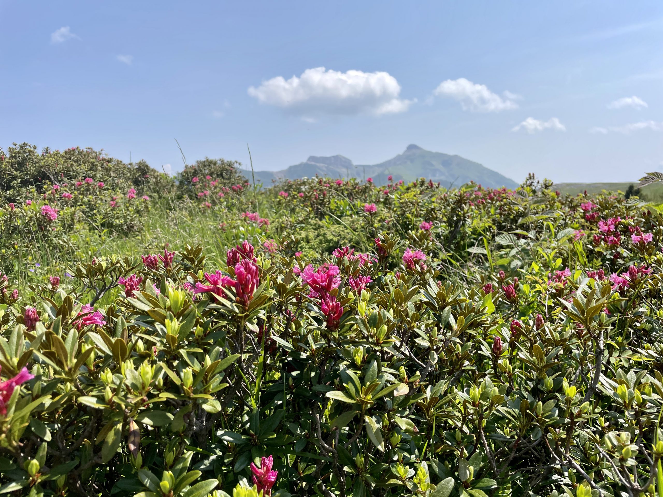
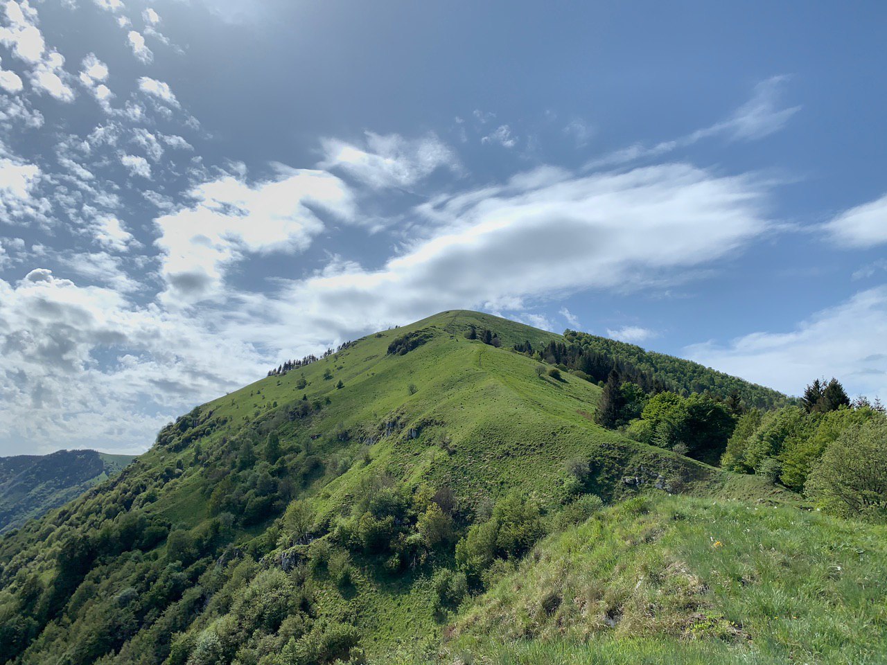
Viote ring on Bondone
Low difficulty Suitable for all 3.30 hours Elevation gain: 350 m Distance: 10 km Viote ring on Bondone To the starting point with Google Maps An immersion in flowery meadows The Viote ring on Mount Bondone is a must-do if … Read More
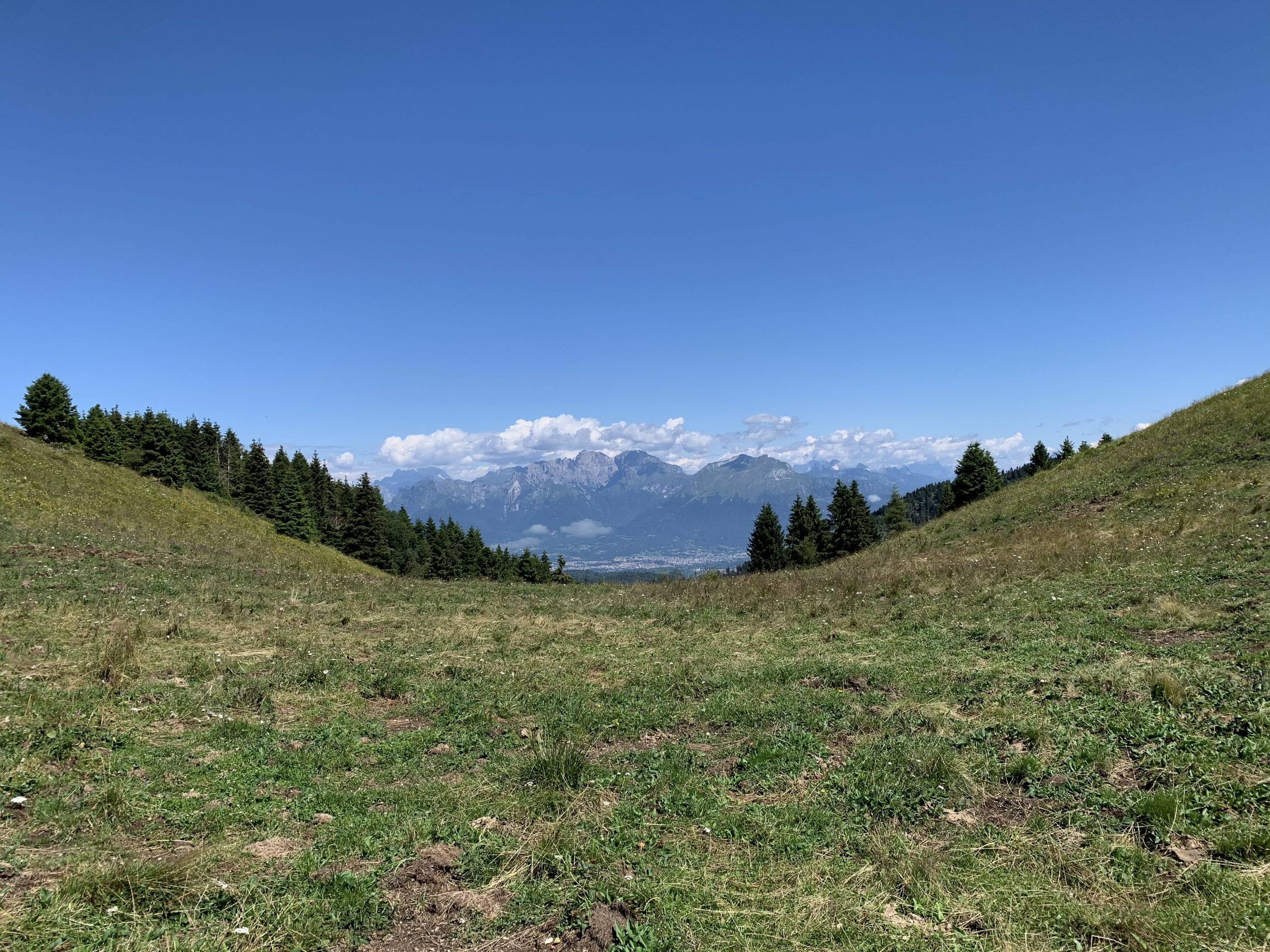
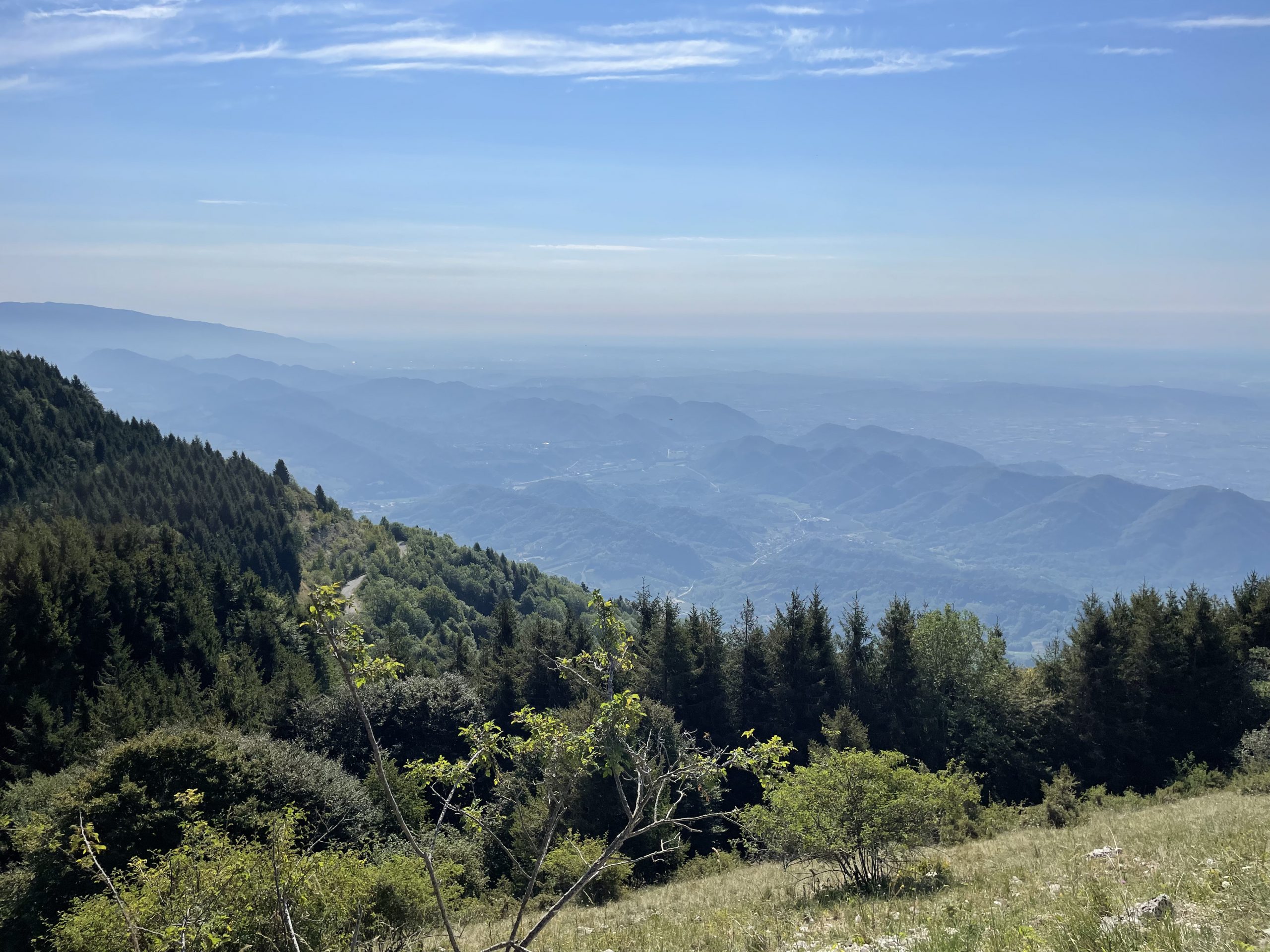
Excursion between the peaks of Garda lake
Medium difficulty Suitable for all 4 hours Elevation gain: 700m Distance: 9 km Excursion between the peaks of Garda lake To the starting point with Google Maps Between fortresses, hermitages and gorges This path, starting from Campione del Garda, will … Read More
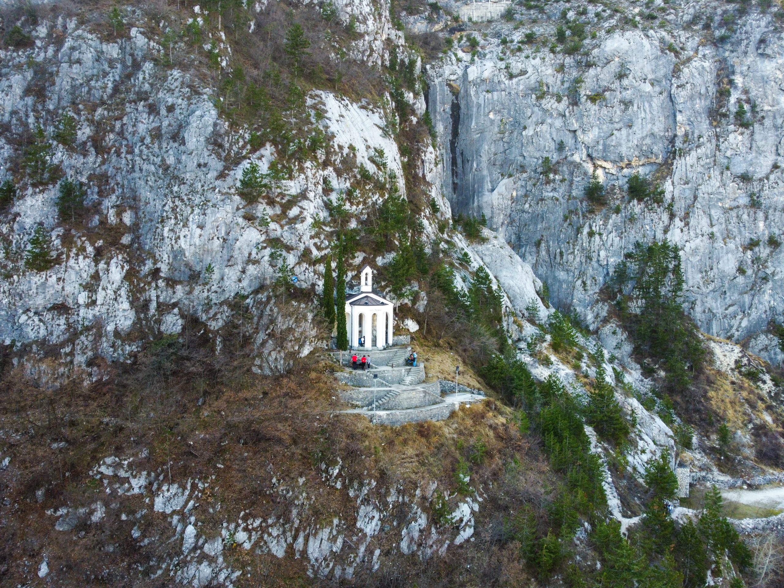
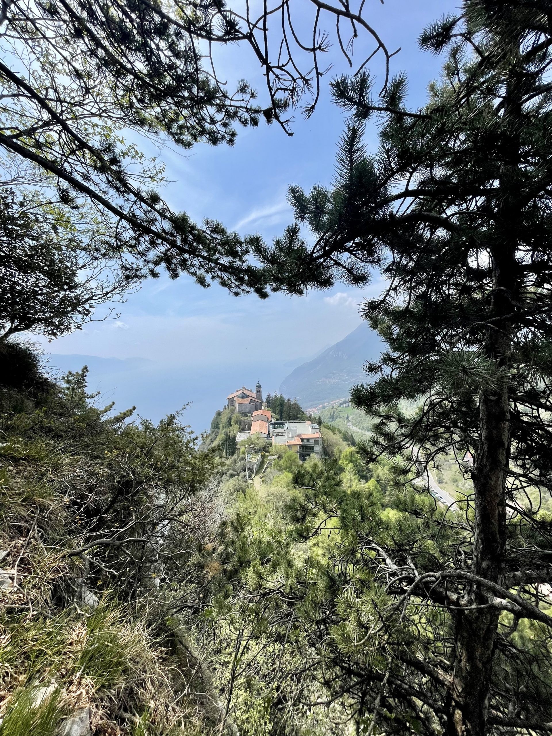
Excursion to Santa Barbara on Lake Garda
Medium difficulty Suitable for all 4 hours Elevation gain: 750 m Distance: 7 km Excursion to Santa Barbara chapel To the starting point with Google Maps Chapel with view Not far from the well-known Ponale path is a track leading … Read More
Peak Mandria massif of Mount Grappa
Medium difficulty Not for young children 5 hours Elevation gain: 850 m Distance: 10 km Peak Mandria To the starting point with Google Maps A path through history A perfect trail for history enthusiasts, discovering the battles fought during the … Read More
Col de Moi peak
Medium difficulty Not for small children 4 hours Elevation gain: 750 m Distance: 6 km Col de Moi peak The highest peak in the valley An itinerary to discover Col De Moi (1358m), the highest peak in the Valley, in … Read More
Panoramic hike to Col Visentin peak
Medium difficulty Not suggested to small children 5-6 hours Elevation gain: 750 m Distance: 16 km Panoramic hike to Col Visentin peak One of the most beautiful hikes in the Prealps The Pian de le Femene Col Visentin trail allows … Read More
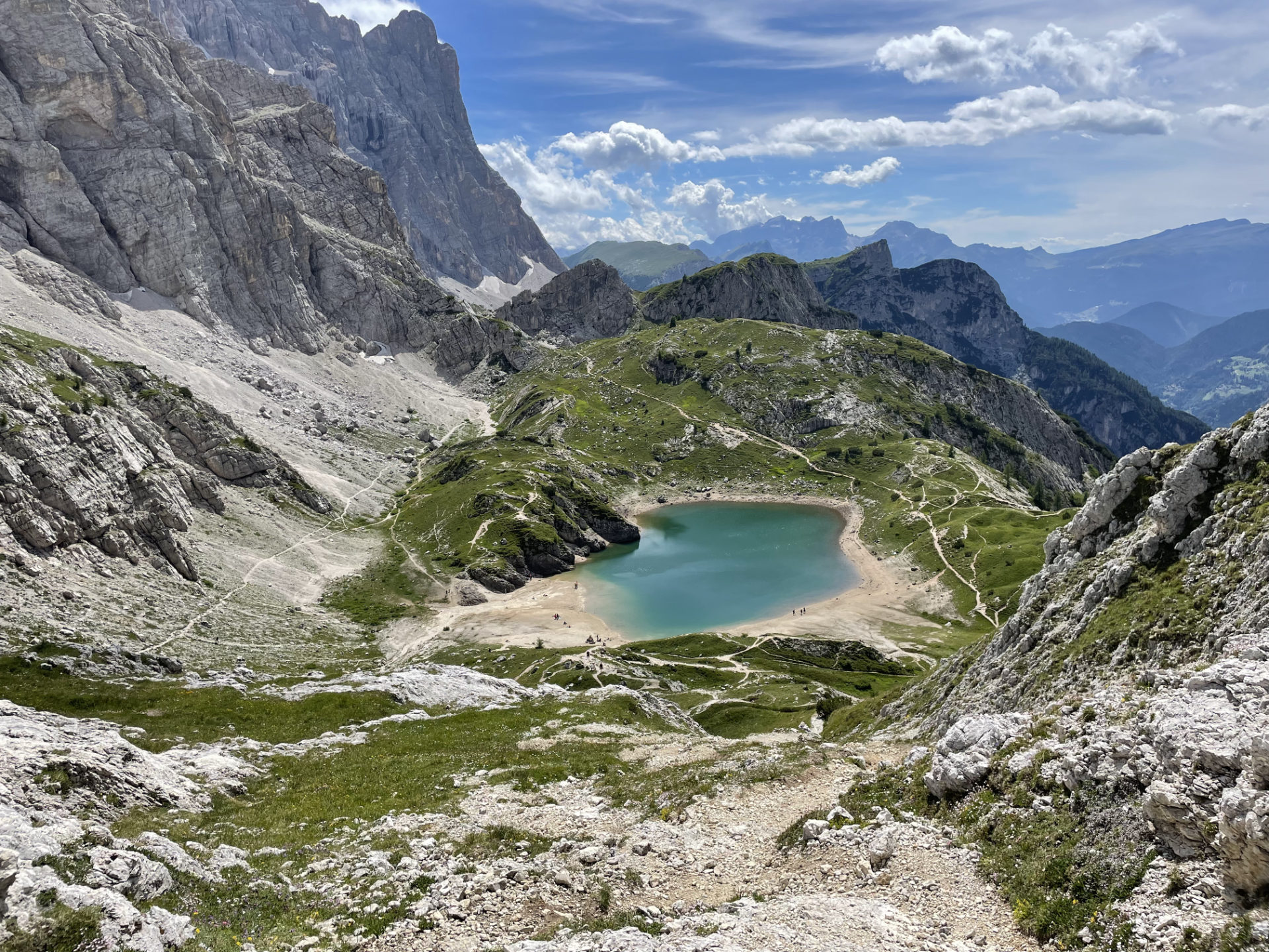
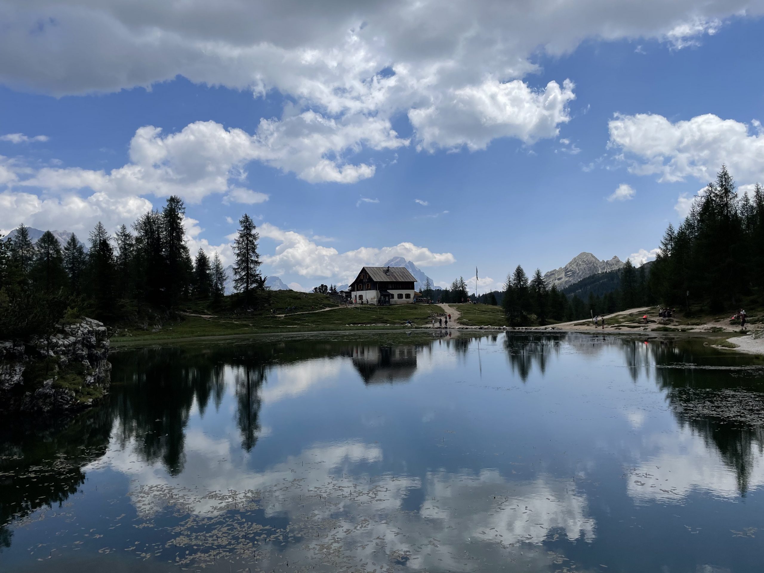
Hike to Lake Coldai
Difficulty: medium For everyone 4:45 h Distance: km 12 Elevation gain: m 770 Hike to Lake Coldai Start navigation with Google Maps Have you got any questions? Feel free to write us and we’ll be happy to answer all your … Read More
Alpine huts ring on Cesen mountain
Easy trail For everyone 2:30 h Distance: km 8 Elevation gain: 300 m Huts ring in Cesen Avvia navigazione con Google Maps Do you have any questions? Feel free to contact us and we will be happy to answer all … Read More
Hike to Croda da Lago
Difficulty: hight Not for everyone 5:30 h Distance: km 13 Elevation gain: m 930 Along Federa stream We propose this excursion to Croda da lago, which allows you to reach this locus amaenus via a route along the Federa stream … Read More