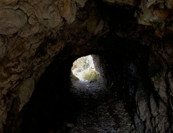
A perfect trail for history enthusiasts, discovering the battles fought during the world wars in the massif with the trenches, structures, and tunnels made there to facilitate the movement of troops and the transport of materials. The mountain was in fact exploited by the military as a strategic control point from above of the surrounding territories and enemy movements. Evidence of the battles fought here can be found in the military shrine on the highest peak, which contains the remains of more than 12,000 fallen soldiers, 10,000 of whom remain unknown.
Previous
Next
History
A route steeped in history, where you can visit artefacts and structures that bear witness to the harshness of the battles fought in these territories during the First World War.
Recommended period
This route is recommended in the seasons: spring - summer - autumn
Expert hiking guide
This itinerary includes the possibility of booking a hiking guide who will accompany you along the entire route, telling you about the history of this territory and the battles fought in it.
Free parking
This itinerary includes a free car park where you can leave your vehicle for the duration of the excursion
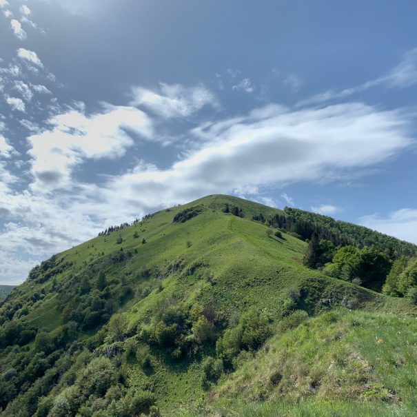
The route to the Mandria peak
Departure is from the San Liberale valley, which can be reached from the municipality of Paderno del Grappa.
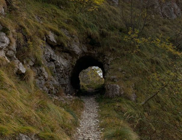
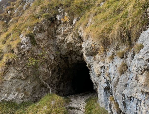
Once in Fietta, follow the signs for the San Liberale restaurant, where you can leave your car in the car park. You will immediately notice the first tunnels dug into the mountain. We advise you to explore them, but remember to take a torch with you!
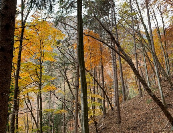
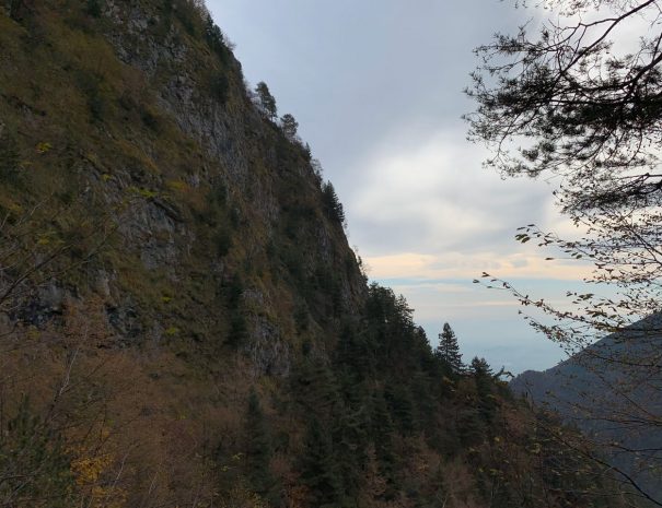
Continue straight ahead until you reach the first fork in the road, where you will continue following the indications for CAI Path 151, a mule track dating back to the First World War, which, as it enters the forest, climbs quite steeply, allowing glimpses here and there of views of the valley and the Po Valley.
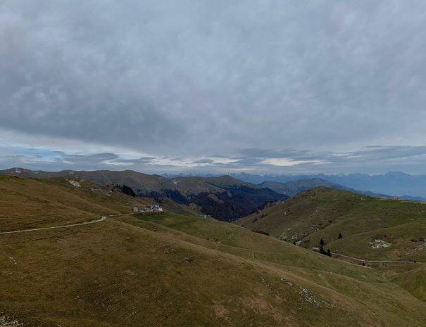
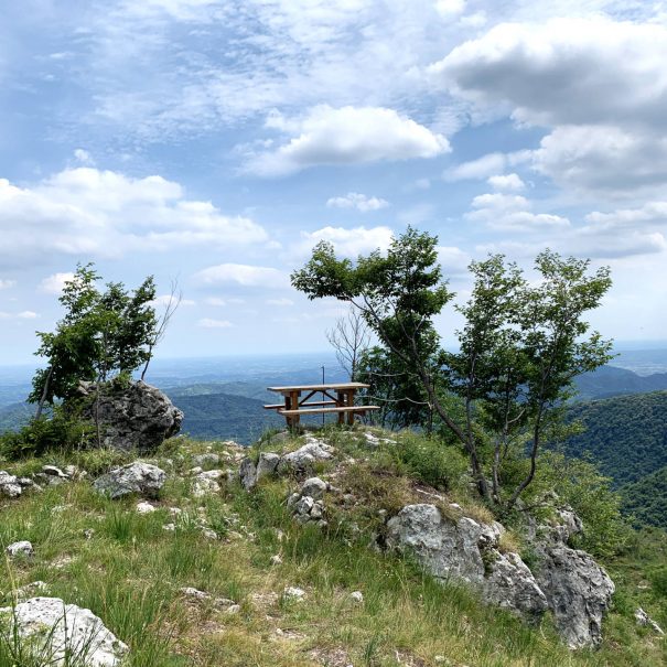
Having reached the locality of "Pian dea Bea" (1400 m), we then take CAI path 152, less steep and more panoramic, which continues in loops until passing under the tunnels dug into the rock during the Great War. From here, continue until reaching the summit of the herd at 1482 m, above which is the Archeson lookout.
For the return journey, it is possible to retrace the path along the outward route until you come to the deviation for CAI 153, which takes you back to San Liberale, where there is parking for your car.
Lascia un commento