Alpine huts ring on Cesen mountain

Do you have any questions?

Feel free to contact us and we will be happy to answer all your questions.

Between meadows, pastures and cows

An itinerary to fully experience summer, escaping the summer heat. You will walk among cows and grassy expanses, where colourful stretches of meadow alternate with cool forest paths. To fully enjoy this experience, we recommend you end it at one of the alpine huts you encounter along the way, in front of a nice cheese board!

Photographic scenarios

You will not be disappointed, our routes deserve many photos that you can share with all your friends

Alpine huts

Along the route you will find no less than four different malghe where you can stop and taste cheese.

Suitable for all

This route can be walked by anyone, given its short length and altitude difference.

Historical Itinerary

This itinerary passes through some of the historical places where mountain pasturing once took place.

Huts ring in Cesen mountain: the itinerary

To reach the starting point of this trail from the Madean road in Combai, take the asphalt road on the right, which shows signs for Posa Puner.

Follow the curving road until you reach Malga Budui, the start of our route.

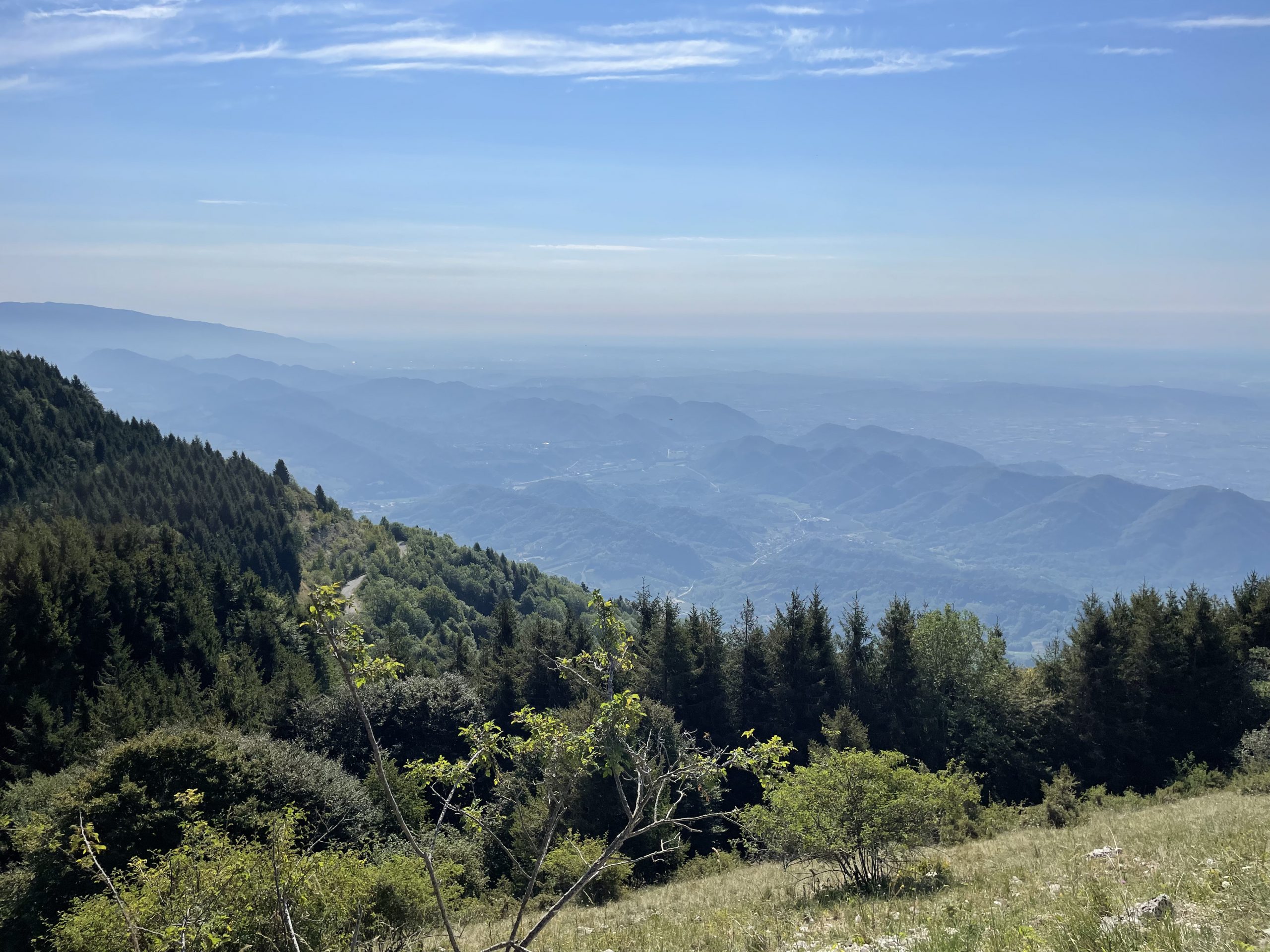
From here, take the path immediately behind the malga building, following a small track through pastures and meadows. Continue until you come to a wide, unpaved track that will take you to the second stage of the route: the Posa Puner hut. Here you will find excellent food, as well as a wonderful view over the Combai, Miane and Follina valleys, where on clear days you can even see Venice.

From Posa Puner we take the unpaved road that heads uphill, on the opposite side of the road from the outward journey. We follow it until we reach Monte Cimon (1,438 m).

We then take the turnoff for path number 1012 B, which will lead us, amongst cows and meadows, to our third stage: the Mariech alpine pasture. Below us is the famous Cesen Hippopotamus, about which conflicting stories are told, which have now become legends.

We then approach the end of our excursion by following the outward path for a stretch, until we come to a small path that winds downhill on the right.

We follow it until we come to a waterhole and, from this, we continue on towards the Malga Domion hut, the last stage of our route.

From here we take a downhill dirt track that will lead us onto an asphalted road (Strada Endimione), from which we reach the starting point again.

Similar excrusions

If this excursion interests you, then you might also like these:

Cima della Mandria
Difficulty: Medium

Peak Mandria massif of Mount Grappa

SEE TOUR
Difficulty: medium

Panoramic hike to Col Visentin peak

SEE TOUR
Da Sottocroda alla Posa
Difficulty: Medium

From Sottocroda to Posa peak

SEE TOUR

Lascia un commento

Il suo indirizzo email non verrĂ  pubblicato Required fields are marked *

You may use these HTML tags and attributes: <a href="" title=""> <abbr title=""> <acronym title=""> <b> <blockquote cite=""> <cite> <code> <del datetime=""> <em> <i> <q cite=""> <s> <strike> <strong>