Panoramic hike to Col Visentin peak
- Medium difficulty
- Not suggested to small children
- 5-6 hours
- Elevation gain: 750 m
- Distance: 16 km
Panoramic hike to Col Visentin peak
Table of Contents
ToggleOne of the most beautiful hikes in the Prealps
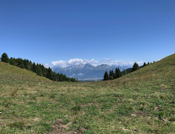
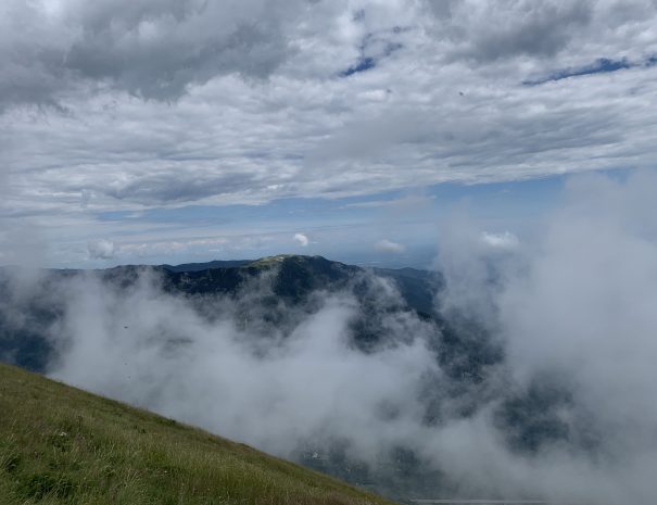
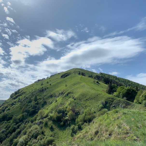
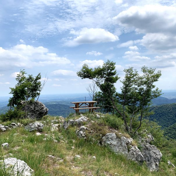
The Pian de le Femene Col Visentin trail allows you to reach the mountain that at 1763 m above sea level dominates the Lapisina Valley. Needless to say, the view is breathtaking, 360°: it is possible to glimpse the Cansiglio Plateau below, the Euganean Hills, the Venetian Lagoon and even the Gulf of Trieste. Moreover, from the opposite side of the mountain, there is a perfect view of the Dolomites, of which the highest peaks can be glimpsed.

Photographic scenarios
You will not be disappointed, our trails deserve many photos that you can share with all your friends
In every season
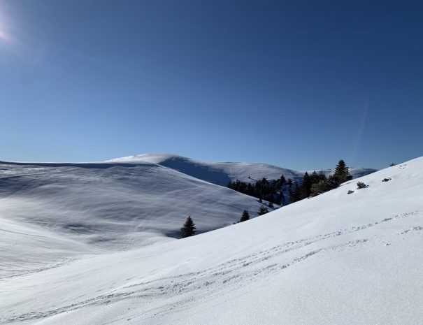
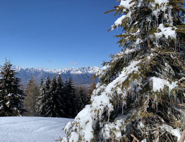
This trail is passable in all seasons of the year. In winter, heavy snowfalls are frequent, making the trail ideal for a snowshoe hike
Expert guide
This itinerary includes the possibility of booking a hiking guide who will accompany you along the entire route, telling you anecdotes and trivia.
Free parking
This itinerary provides free parking where you can leave your vehicle for the duration of the hike
Book now
The itinerary: Pian de le Femene Col Visentin
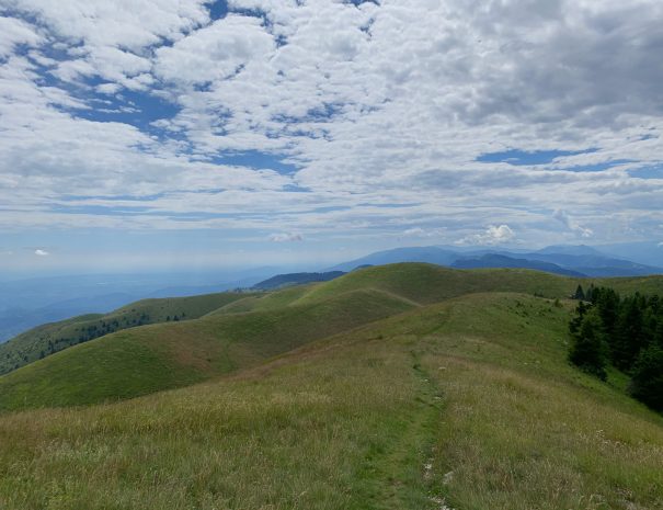
Our starting point will be the parking lot of Pian delle Femene (1140 m), which can be easily reached by car from the town of Revine, following the signs for Madonna delle Nevi or simply using the Church of San Francesco da Paola, with its peculiar succession of capitals of the Way of the Cross, as a reference point, and continuing straight ahead along the winding road that cuts through the mountain, until we reach a large square with a group of houses. From here just follow the inidcations for Col Visentin, taking the path that begins just to the right of our parking lot. From here, the path continues on a false level next to an accumulation of spietramenti until the casere Frascon, after which a steep climb will allow you to reach Monte Cor and, later, the Cor dele poiatte. Leaving a group of casere behind, our route then continues to Monte Pezza where the ruins of the historic Pezzetta casere are found. It is then the turn of Mount Agnellezze, identified by a 4 m high mound of spietramento. From here the road descends again to reach Forcella Zoppei, from where it will be possible to take the dirt road that, in a series of concentric curves with an increasing gradient, will reach our destination: monte Visentin. After a short stop in the Refuge that is located at the top of the mountain, it will then be possible to descend again along the same path as the one we started from. During the winter season it is advisable to use snowshoes, because of the heavy snowfalls occur at this height, which, with the help of the temperatures, cause the snow to accumulate, freezing and remaining for several months.
Lascia un commento