
Easy trail For everyone 3:15 h Distance: km 8 Elevation gain: 450m Forra del Lupo Avvia navigazione con Google Maps Do you have any questions? Feel free to contact us and we will be happy to answer all your questions. … Read More
Hills
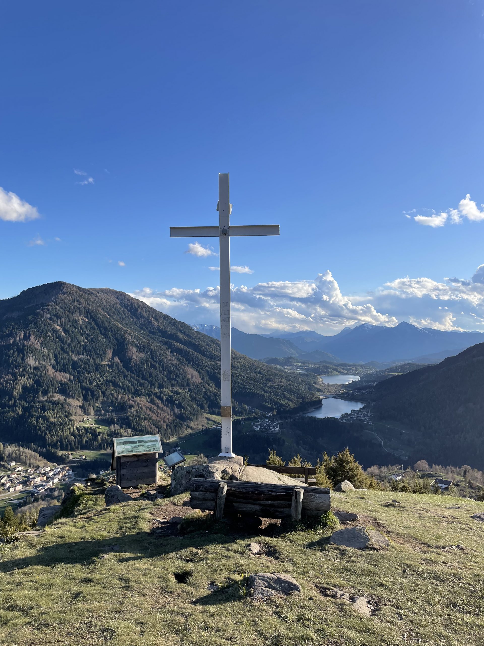
Cros del Cuc
Low difficulty For everyone 1:30 h Distance: 3km Elevation gain: m 180 Cros del Cuc Avvia navigazione con Google Maps Do you have any questions? Feel free to contact us and we’ll answer at all your questions. info@trekkyo.com Conegliano (TV) … Read More
Val Trippera
Low difficulty For everyone 2:00 h Distance: km 7 Elevation gain: m 140 Val Trippera Avvia navigazione con Google Maps Do you have some questions? Feel free to contact us and we will be happy to answer all your questions. … Read More

On the Vedette path
Low difficulty Suitable for all 2:30 h Distance: km 8 Elevation gain: m 290 On the Vedette path Start navigation with Google Maps Do you have any questions? Feel free to contact us and we will be happy to answer … Read More
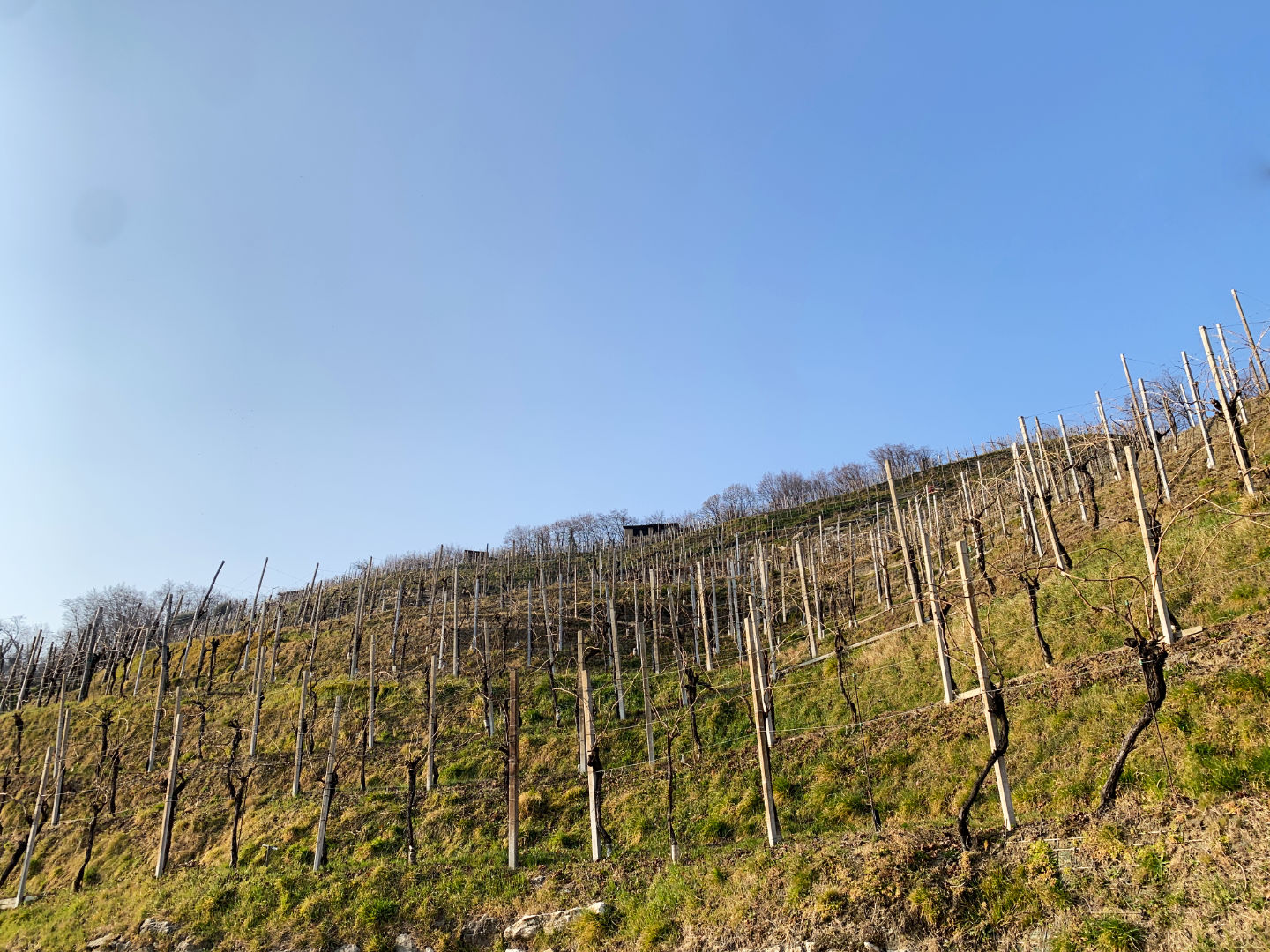
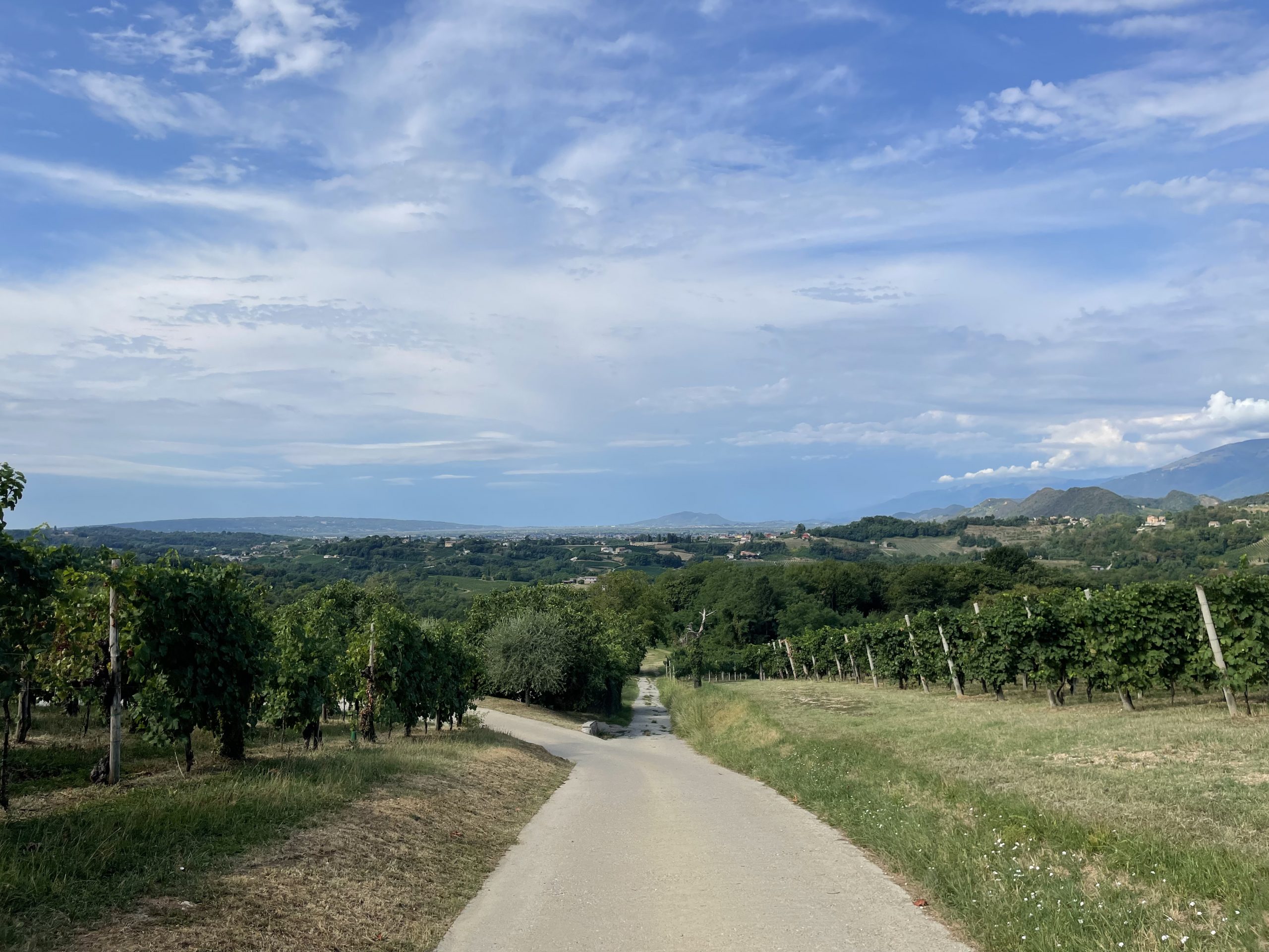
Prosecco Hills and the “Marroni” of Combai
Medium-low difficulty Children if they are used to walk ~3 h Distance: km 8 Elevation gain: m 260 Prosecco Hills and the “Marrone”of Combai Start navigation with Google Maps Between Prosecco and chestnuts Do you want to immerse yourself in … Read More
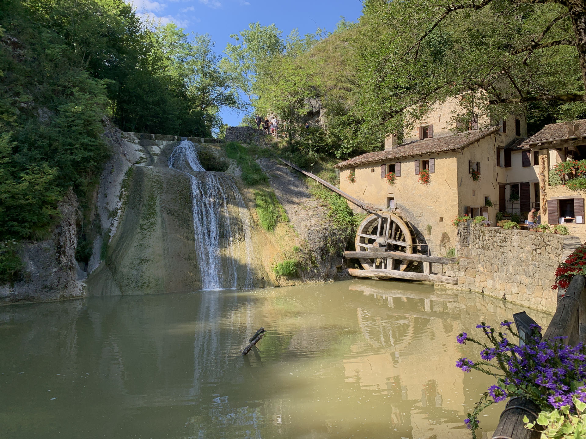
Hiking at the “Molinetto della Croda”
Low difficulty Children friendly 2:00 h Distance: km 6,5 Elevation gain: m 220 Hiking at the “Molinetto della Croda” Avvia navigazione con Google Maps The “Molinetto della Croda” mill We propose you a loop itinerary whose starting point is the … Read More

Mount Baldo in Vittorio Veneto
Medium – Low difficulty Not for young children 3 h Distance: km 9,5 Elevation gain: m 460 Mount Baldo in Vittorio Veneto To the starting point with Google Maps Monte Baldo Vittorio Veneto, the summit of the valley In this … Read More