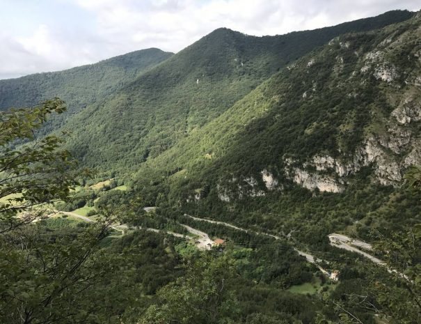
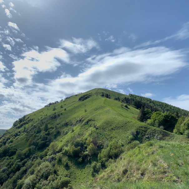
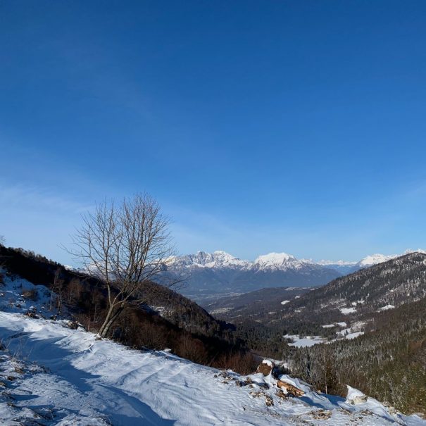
The cal de culié is a trail suitable for anyone who wants to venture among the slopes of the San Boldo Pass, its history and its peculiar panorama, with scenery ranging from the valley that encloses the village of Tovena to the majesty of the Belluno Dolomites.
Previous
Next
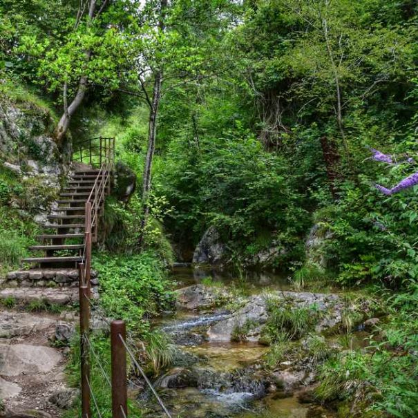
Photographic scenarios
You will not be disappointed, our trails deserve many photos that you can share with all your friends
Recommended period
This route is recommended in every season of the year
Professional hiking guide
This itinerary includes the possibility of booking a hiking guide who will accompany you along the entire route, telling you anecdotes and trivia.
Free parking
This itinerary provides free parking where you can leave your vehicle for the duration of the hike
The route to the Cal de Cùlie
Departure is from Tovena, in the locality of "Fontana Bafa" (for exact directions press on start navigation above).
From here take the small road to the right, skirting a magnificent frescoed house and continuing until you pass a stone arch and enter the courtyard of a private house, from which it is possible to follow along a small road enclosed between the dwelling of a stone house on the right and a high stone wall on the left.
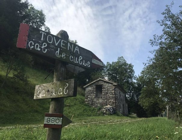
Continuing on, you will arrive in the middle of the woods on a dirt path that, after about 500 m, will converge on the paved Caldela road. From here, past a complex of cottages, you will then come to meet the signs for path 990.
From here, having traveled about 300m, it will be possible to notice a silvo-pastoral road that climbs uphill, in the middle of the forest. Continuing along it, after leaving a small rustic house on the right, it will be possible to reach a square where the road ends.
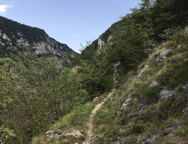
The route then resumes the path that climbs in steep stretches alternating with gentler ones, allowing you to gain altitude with relative ease and giving us some very suggestive views.
After about 50' of ascent we arrive at a small plateau equipped with a table and a bench to take a break. This vantage point was once used as a cable car station to carry bundles of hay down the valley.
From here a grassy slope will be resumed, on which, leaving a small bivouac on the left, it will be possible to reach the Caldela road again, in the hamlet of Casere Montevecio. This will be our destination, from which it is possible to admire a panorama that sweeps from the San Boldo pass below, to the Belluna valley. From here the descent then begins, following the signs for "Caldella Tovena," continuing along the sometimes paved path that leads back to the village of Tovena.
A quicker alternative is to take, at the small lavagol that is encountered just after leaving the paved road near the bar that leads to Mount Torresel, the "Marco Trail."
Following the signs for "Soller" this will lead us to a paved road, near a group of stone houses, from which it will be possible to walk a last stretch of the "Caldella" to reach the starting point.
Lascia un commento