From Sottocroda to Posa peak
- Medium difficulty
- Not for small children
- 5 hours
- Elevation gain: 850 m
- Distance: 17 km
From Sottocroda to Posa peak
Table of Contents
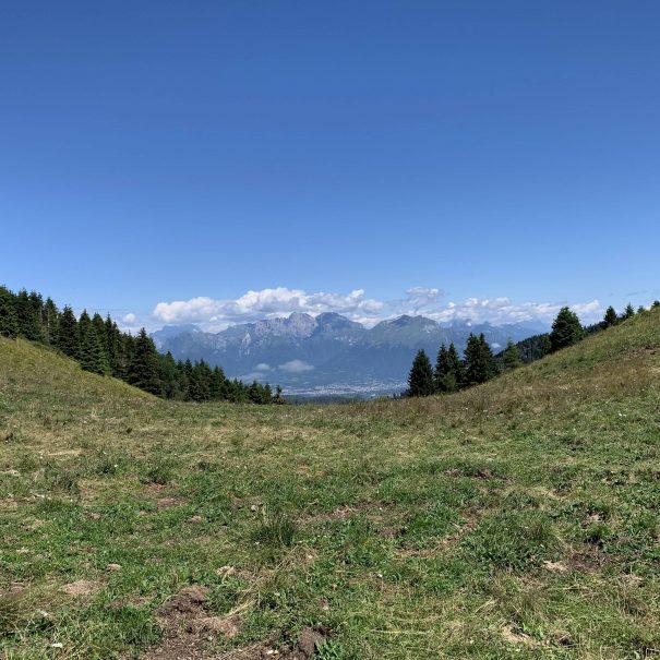
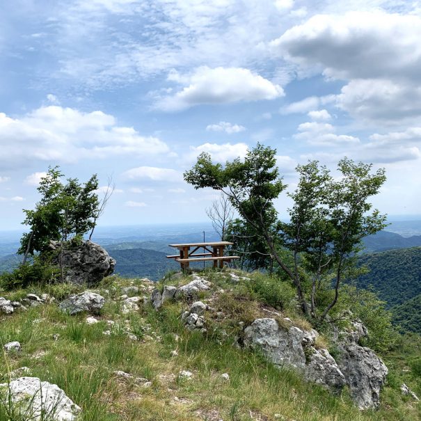
TogglePosa peak offer a beautiful view of the Dolomites
From Sottocroda to the Posa: a somewhat challenging route that will allow you to reach the picturesque "Posa," named after the watering hole used to water the animals that came here to graze.
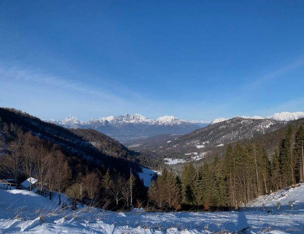
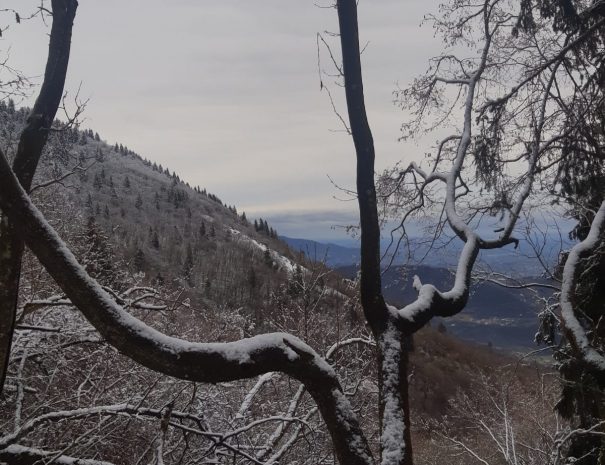
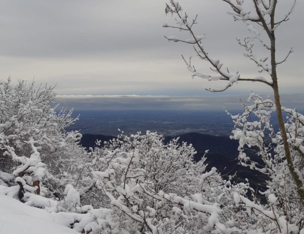
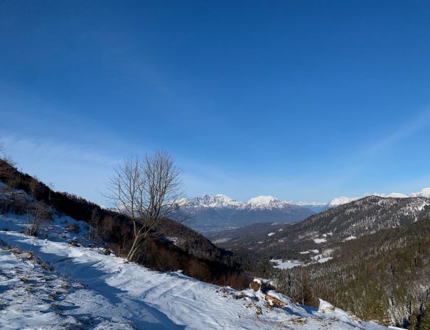
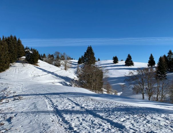
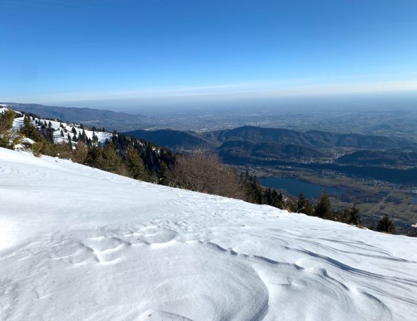
Scenari fotografici
Non rimarrete delusi, i nostri percorsi meritano molte foto che potrete condividere con tutti i vostri amici
Recommended period
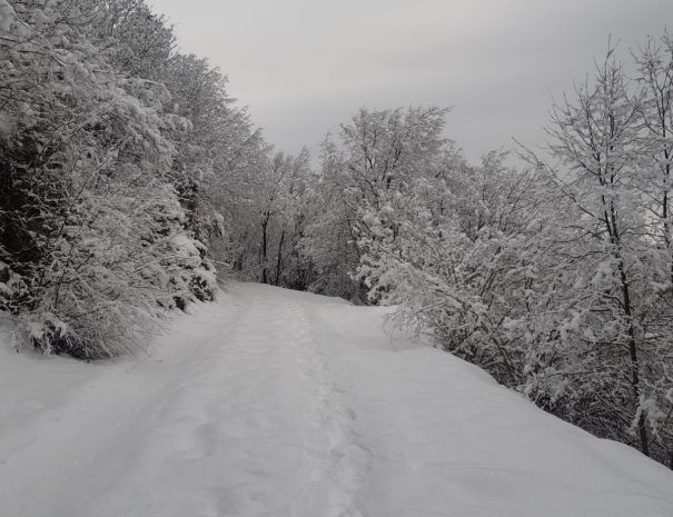
This route is recommended in every season of the year. Pay attention in winter as they may be snow covering the road
Expert guide
This itinerary includes the possibility of booking a hiking guide who will accompany you along the entire route, telling you anecdotes and trivia.
Free parking
This itinerary provides free parking where you can leave your vehicle for the duration of the hike
From Sottocroda to Posa peak: the itinerary
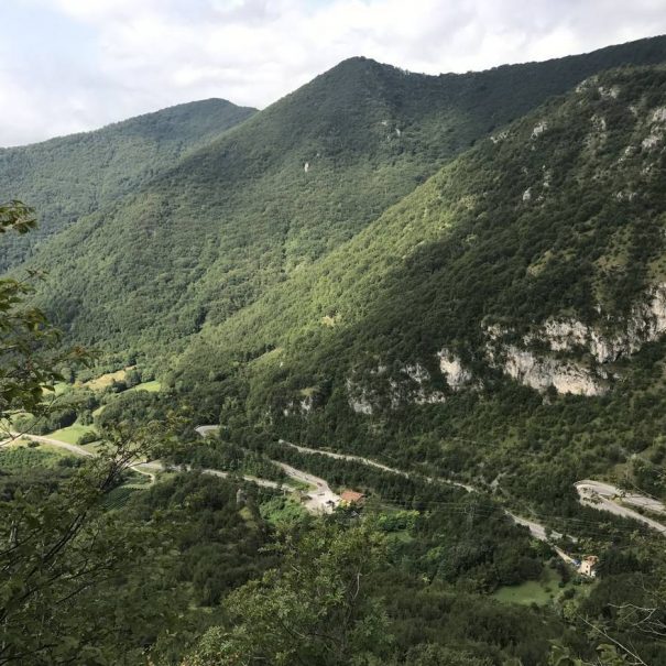
The start is set in the small village of Sottocroda, which can be easily reached by car, following the signs on the main road and, between Cison di Valmarino and Revine Lago. Leaving the main road it will be possible to follow a paved road that, after an initial short, steep climb, will lead to a hamlet of houses from which it is possible to follow the signs to a parking lot. From here there are two options: walk straight ahead from the place where you left your car until you find a path that leads into the woods or descend back into the hamlet of Sottocroda and continue straight until you meet a capitol on the left. Both options will then converge in an attracted paved and attracted unpaved road, along which you will then come to a junction, from which continuing straight and following the signs for the "Posa" it will be possible to take a curved road that, steeply will enter the middle of the forest. From here you will then reach, after about an hour's walk, the junction with the Torresel road. From this point, however, the trail becomes more impressive, with views of the Soligo valley and, in spring, lush and varied vegetation that makes the walk more cheerful. The last section of the trail enters the woods again until it reaches casere de Noni and, from here, after two hairpin bends, to Posa. To return to the parking lot, one will retrace the road faced on the way out, thus concluding the hike.
Lascia un commento