Mount Pizzoc
- Medium difficulty
- Not suited for young children
- 4:30 h
- Distance: km 8
- Elevation gain: m 940
Mount Pizzoc
Table of Contents
ToggleMount Pizzoc at 360°
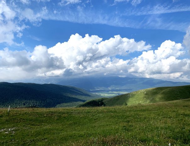
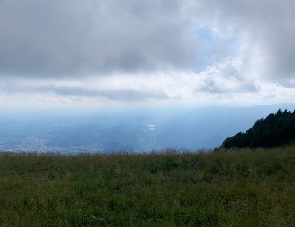
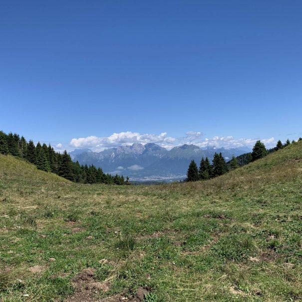
Reaching Mount Pizzoc from this side means walking an arduous route, with almost 1,000 m of elevation gain, suitable for the most experienced hikers, which nonetheless can offer breathtaking views, with a 360° view of the beauty of the surrounding landscape: the Dolomite peaks to the left and, towards the right, the peaks of the Alpago, among which Monte cavallo (Mount Horse) stands out, at the foot of which the Cansiglio plain rises. To the north, below the slopes of the imposing Col Visentin, there is an excellent view of the Lapisina Valley and the Vallata, being able to catch a glimpse of Restrello Lake (with the Nove power plant), Negrisiola Lake and, on clearer days, the lakes of Revine. Pushing your gaze southward, on the clearest days, you will be able to catch a glimpse of the Venetian lagoon.
Mountain restaurant
You can reach the Vittorio Veneto City Shelter where you can taste typical dishes and foods
Suggested period
This route is recommended in Summer-Fall and Spring
Possibility of booking a hiking guide
This excursion includes the possibility of booking a guide who will accompany you along the entire route, telling you anecdotes and trivia
Free parking place
This route provides free parking located near the municipality of Sonego at "La Briglia"
The itinerary
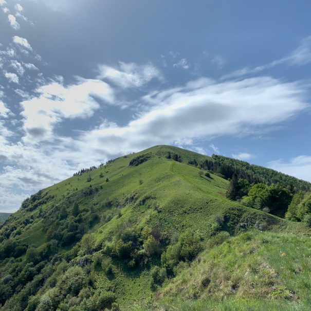
Leaving the car near Sonego, a small but characteristic urban agglomeration to the north of Fregona, continue north on a steep ascent, first on an asphalt road and then on a dirt road, skirting the Carron stream. When you reach a crossroads of paths, you then keep left, continuing on the dirt road that flanks the ford of the stream, until you reach the saddle where, turning right, you take Alta Via No. 6, following the signs for Madonna dell’Agnellezza. The path, from here, climbs among hornbeam and beech woods, crossing ancient rural buildings, until it reaches the cave of the Madonna dell’Agnellezza, a resting place and prayer destination where, during the year, two masses are celebrated that open and close the hiking season.
The trail then continues further uphill, leading us out of the woods in a short time and allowing us to admire the panorama of the valleys below in all its fullness.
After a few stretches traversed among the firs and among the rocks, we reach a viewpoint from which to admire the succession of aquifer basins of the Lapisina Valley and, from here, after reaching Casera Taffarel, we turn right, following a stretch of asphalt road that will allow us to reach in a short time the much coveted Rifugio città di Vittorio Veneto located on the summit of Monte Pizzoc. After refreshing ourselves and regaining our energy, we are then ready for the descent, which we can either face by following the starting route or, as in our case, by following the Direttissima, which can be taken in front of the Refuge and which will take us back to the locality “Le Briglie” where we parked the car. Attention must be paid, however, to the slope and consequent slipperiness of the path, as well as to the trees that fell along the way as a result of the Vaia storm.
Alternatives
It is also possible to reach Mount Pizzoc starting from the Cansiglio forest, a nature reserve of unquestionable beauty. The departure in this case is from the parking lot of the Vallorch refuge (1085 m), and the elevation gain is certainly less, suitable even for those who are not used to hiking significant elevation gains.
Similar itineraries
If this hike interests you, then you might also like these:
Book a professional nature hiking guide
Have you got any questions?
Feel free to contact us and we will be happy to answer any questions you may have
Lascia un commento