Leaving Conegliano you will encounter the first easy climbs, the Conegliano hills will accompany you as far as Vittorio Veneto, here you will need to cross the city, so pay close attention to the vehicular traffic on the road.
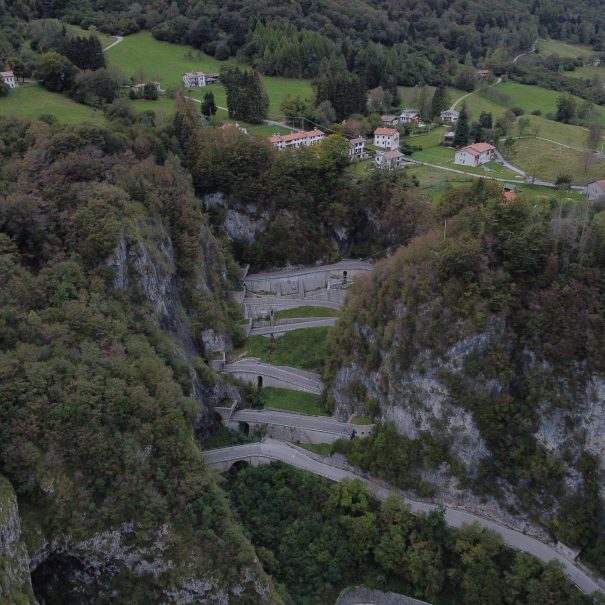
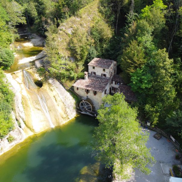
After passing the Vittorio Veneto hospital you will turn right after about 500 meters taking Via Costa Rive, this first challenging climb will take you up to the Caglieron Caves where you can make a stop to visit this beautiful natural place.
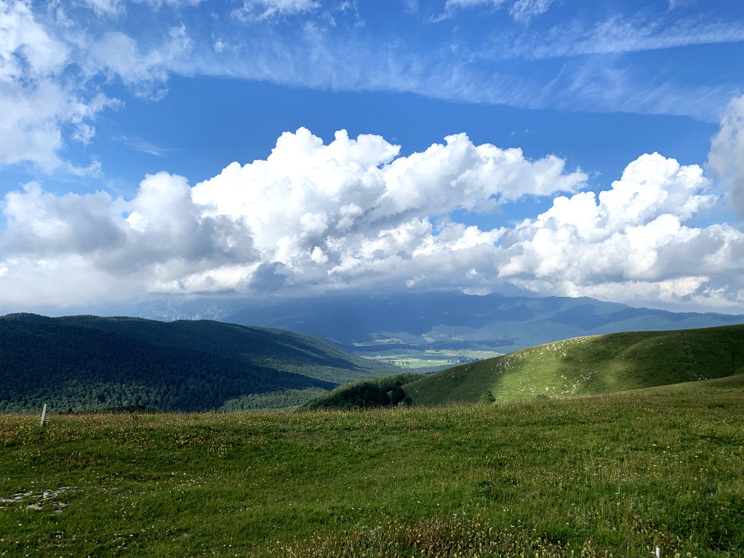
From here you descend slightly in the direction of Osigo and proceed following the signs for Pian del Cansiglio, from this point the real climb begins which in 15 km will lead you to the summit of Monte Pizzoc.
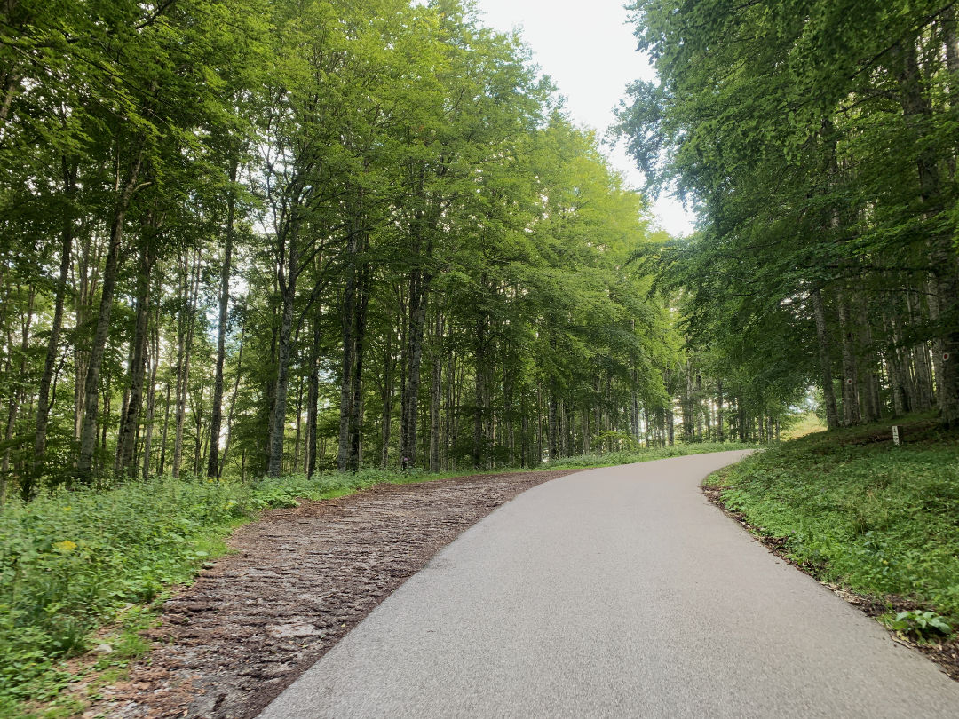
The first part of the climb is exposed to the sun, so remember to bring enough water and use sunscreen. Once you reach an altitude of 800 meters you will enter the Cansiglio Forest, the temperature will be definitely more comfortable if you face this route during the summer.
At an altitude of 1000 meters you will reach the Crosetta Pass, if you wish here you can take a refreshing break, in fact there are a tavern and a bar. You will also be able to refill your water bottles given the presence of a fountain.
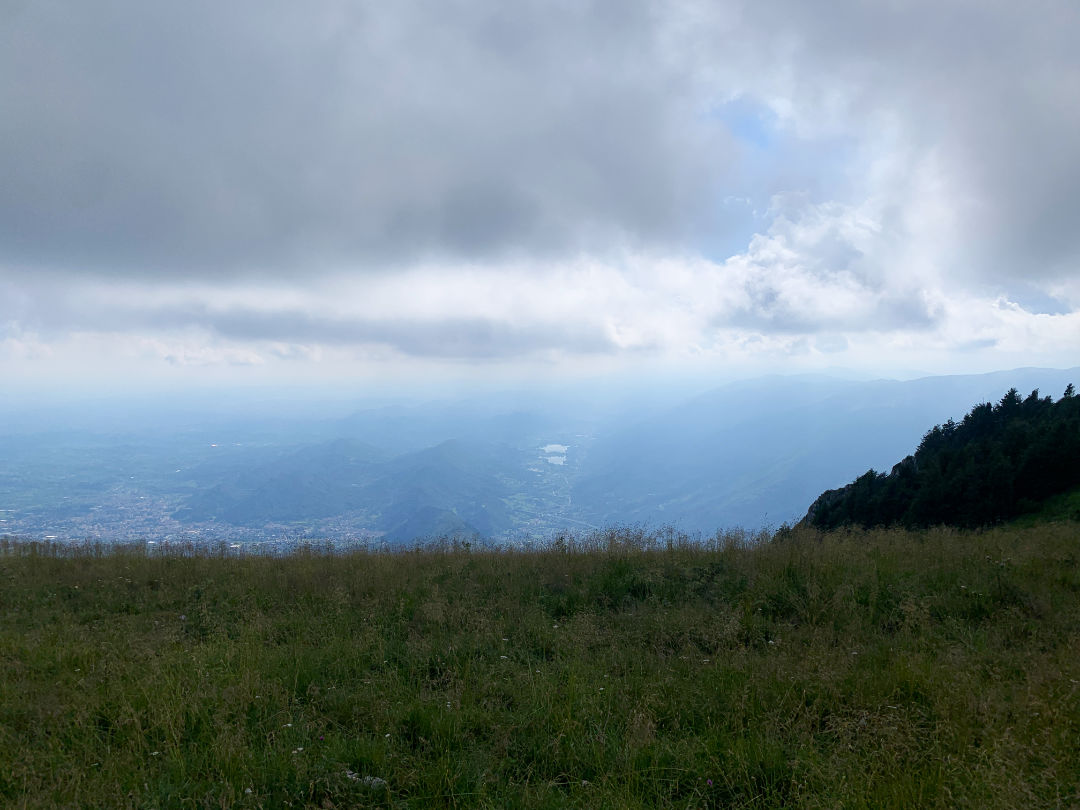
One more kilometer and you will turn left in the direction of Mount Pizzoc. Here the road narrows considerably and is often made damp by the surrounding forest, so be careful and keep to the right especially downhill. Once you reach the top the view offered will repay you for all your efforts. At the top there are tables and benches for a picnic and there is also the City of Vittorio Veneto refuge.
More information at this link: https://www.rifugiocittadivittorioveneto.it/
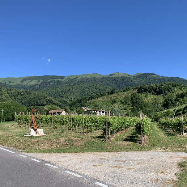
For the descent you will follow the same road as the ascent, maximum caution on the first part of the descent: the road is narrow and motorists often do not show enough attention to bikes, keep to the right and proceed single file using both front and rear lights. You will then descend through the town of Fregona and reach Conegliano again, passing through its hills full of rows of vineyards.


Lascia un commento